
Pindorama Project · Aug 05, 2026
Pindorama consolidates its geological basis to guide exploration
A documented regional setting guides the geological model and the progressive reduction of uncertainty.
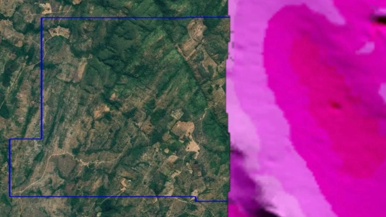
Located in Pindorama do Tocantins, the project is associated with ANM process 864.235/2023 and is at the mineral exploration stage.
The area is part of the Natividade–Pindorama regional geological setting documented in lithostratigraphic studies and Geological Survey of Brazil mapping. This basis supports a conceptual exploration model, but does not confirm mineralization.
The next technical cycle is focused on consolidating the geological base and verifying lithologies, contacts, structures and possible alteration features at project scale. The responsible technical team will define investigation methods according to the available evidence.