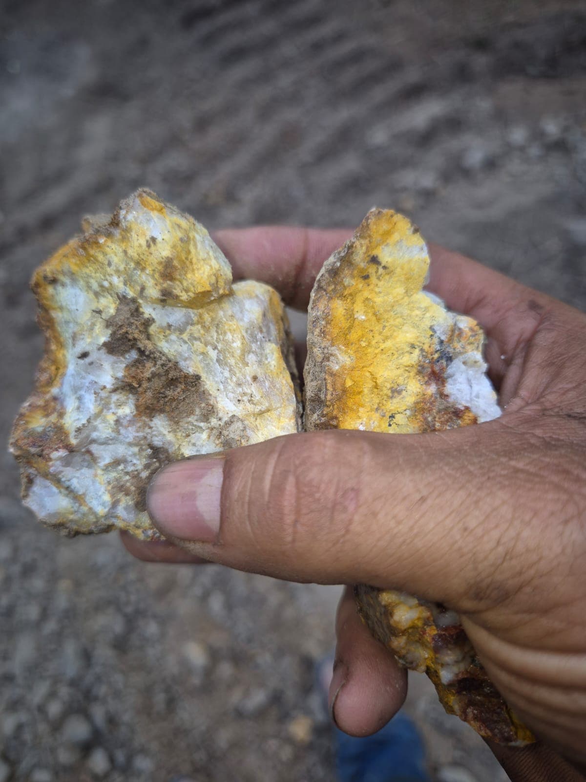
Regional recognition
Geological, geochemical and regional airborne-geophysical work completed.


Tocantins State, Brazil
Project overview
Bagaginha is an advanced gold exploration project in Natividade, Tocantins. Regional geological, geochemical and airborne-geophysical reconnaissance has been completed.
The work completed to date provides a technical basis for refining targets and planning the next detailed investigation stages, while maintaining mineral and environmental compliance as central project premises.
Location and access
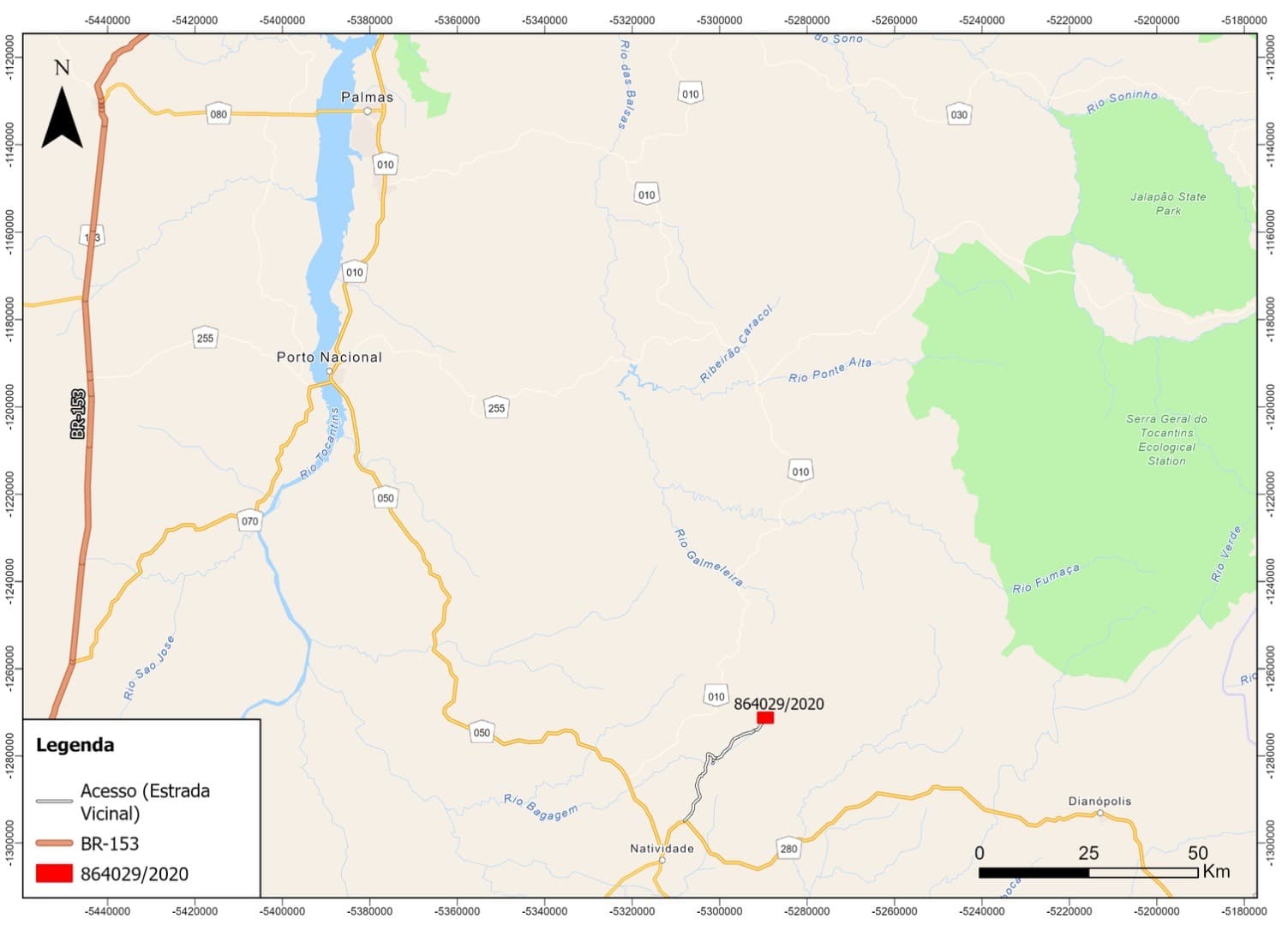
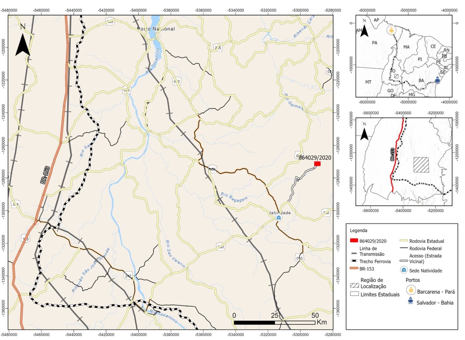
The route from Palmas to Natividade covers approximately 222 km, mainly via BR-010 and TO-050. Access to the project area continues via TO-280 and a local road to the project polygon.
Infrastructure
Natividade offers lodging, food, banking and healthcare services. The region is also served by an energy-distribution network connecting Almas, Natividade, São Valério and Peixe.
Regional geology
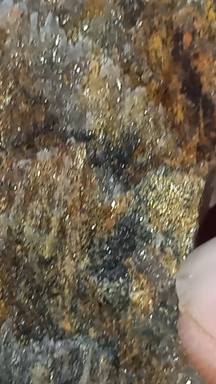
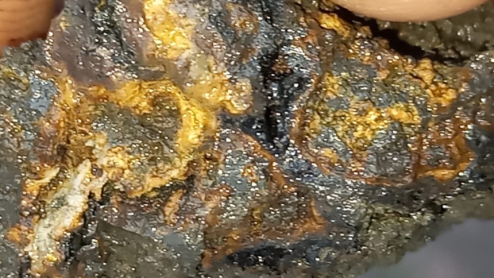
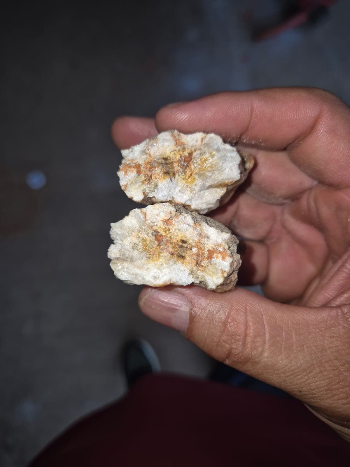
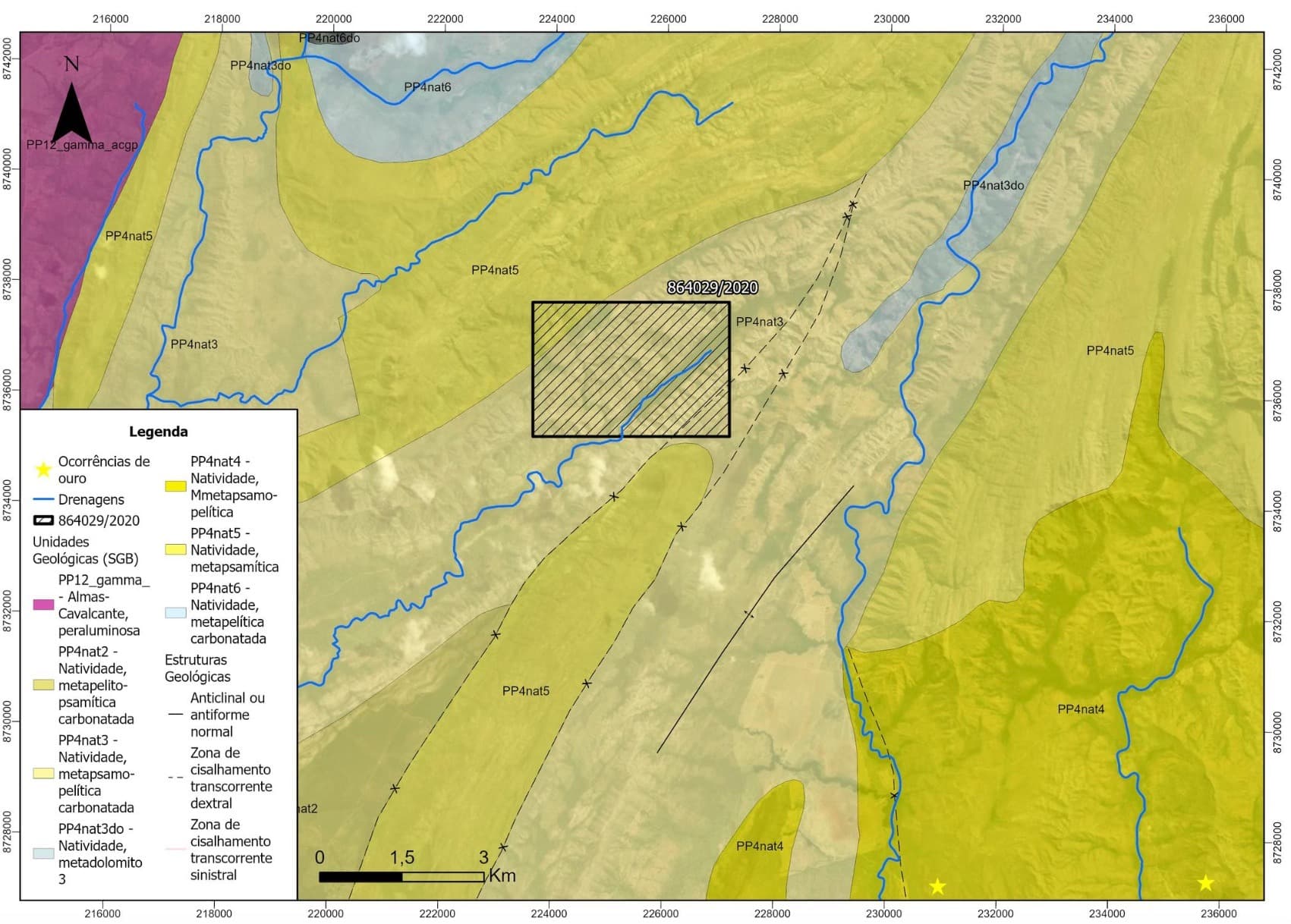
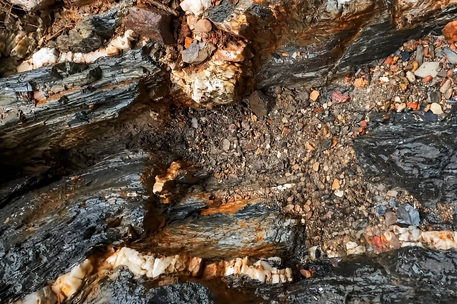
Regional mapping identifies arkosic metarenite and metapelite. Historical evidence from the Bagaginha River is compatible with gold-bearing quartz-vein occurrences hosted in metasedimentary rocks; this interpretation remains subject to detailed validation.
Geochemical recognition
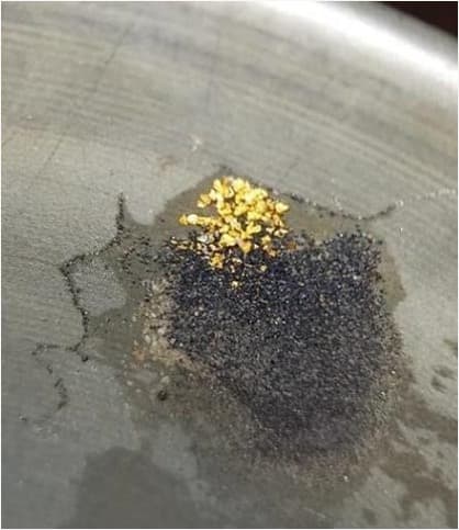
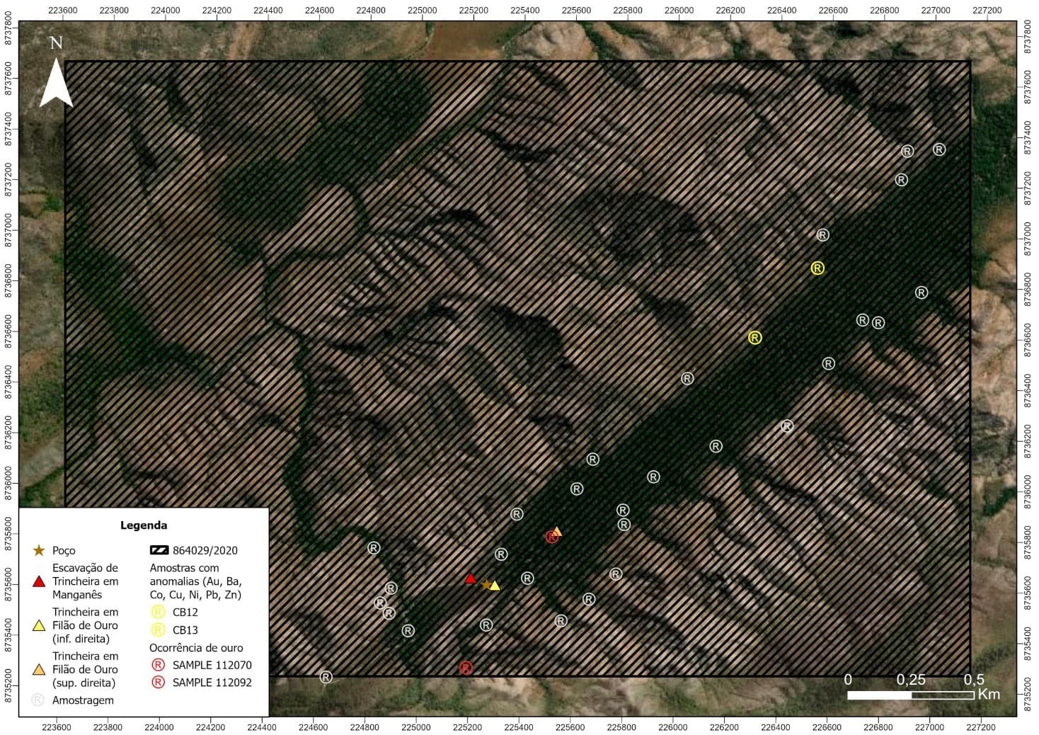
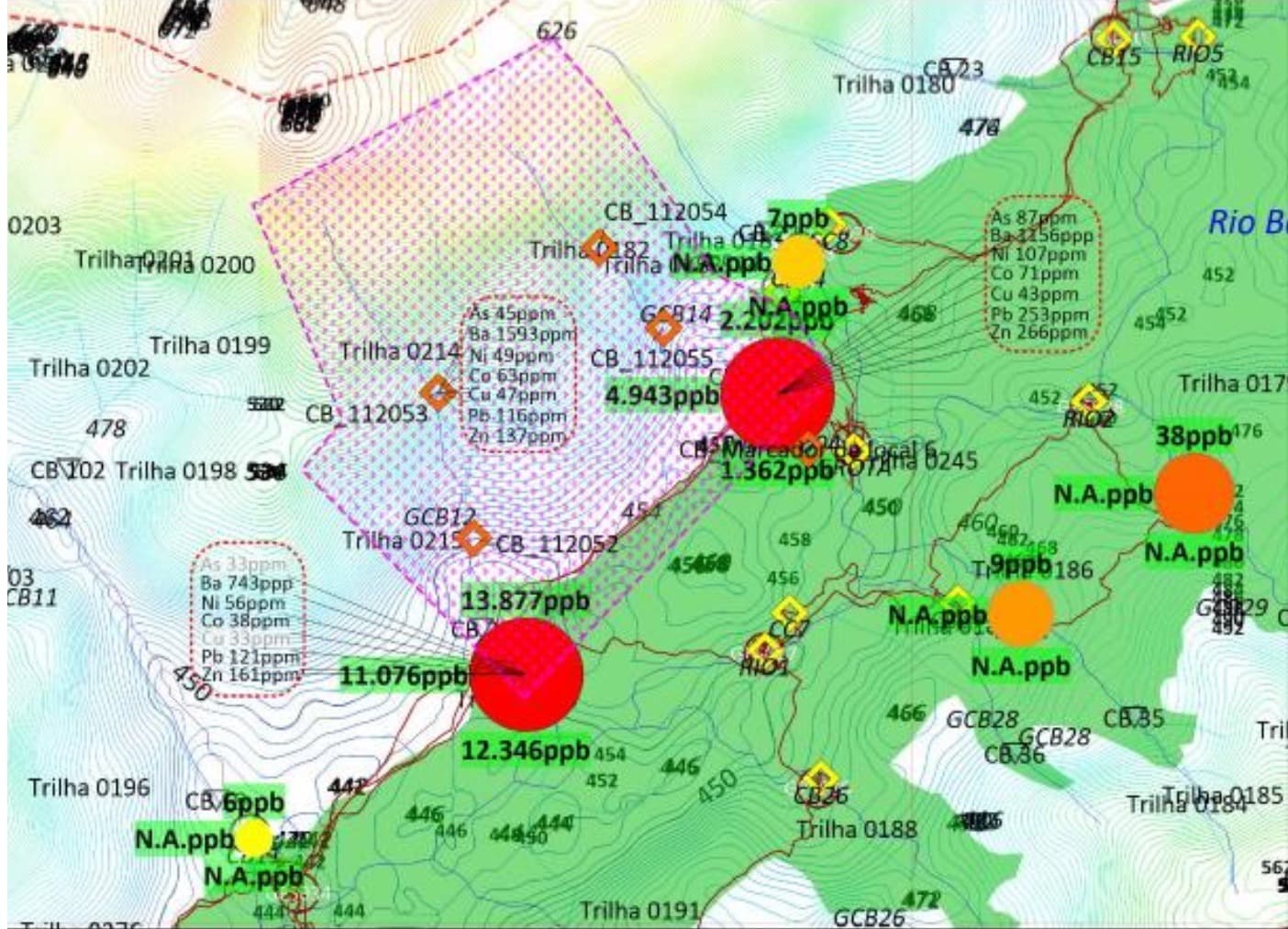
The regional survey analyzed 39 soil and sediment samples. Two nearby gold anomalies and associated multi-element signatures were identified in the Cabeceiras do Rio Bagaginha target area.
Regional airborne geophysics
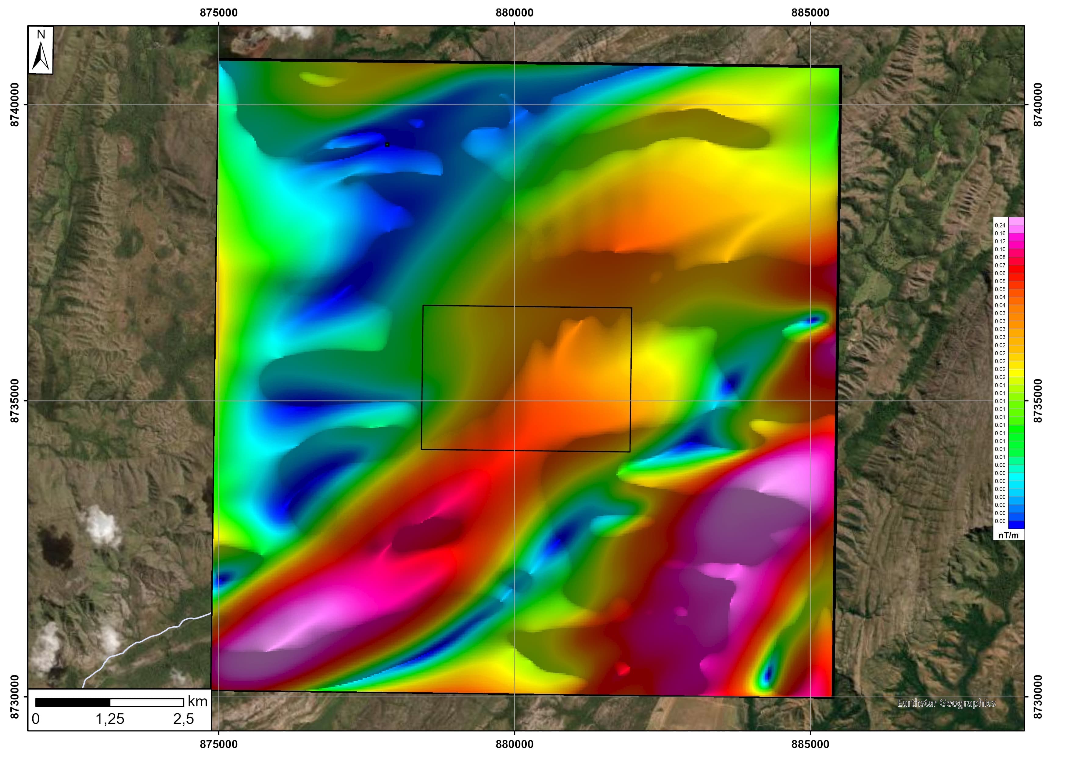
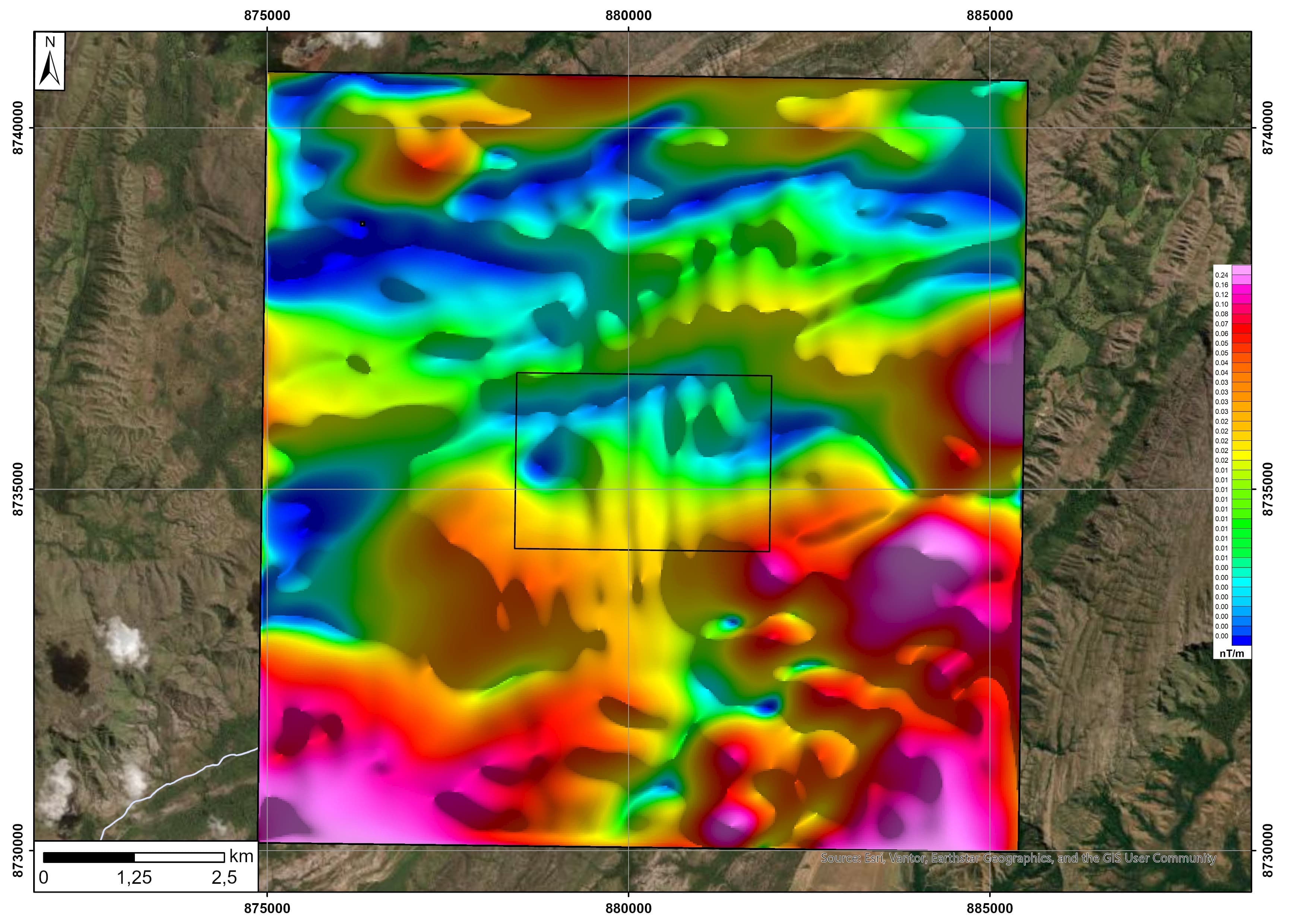
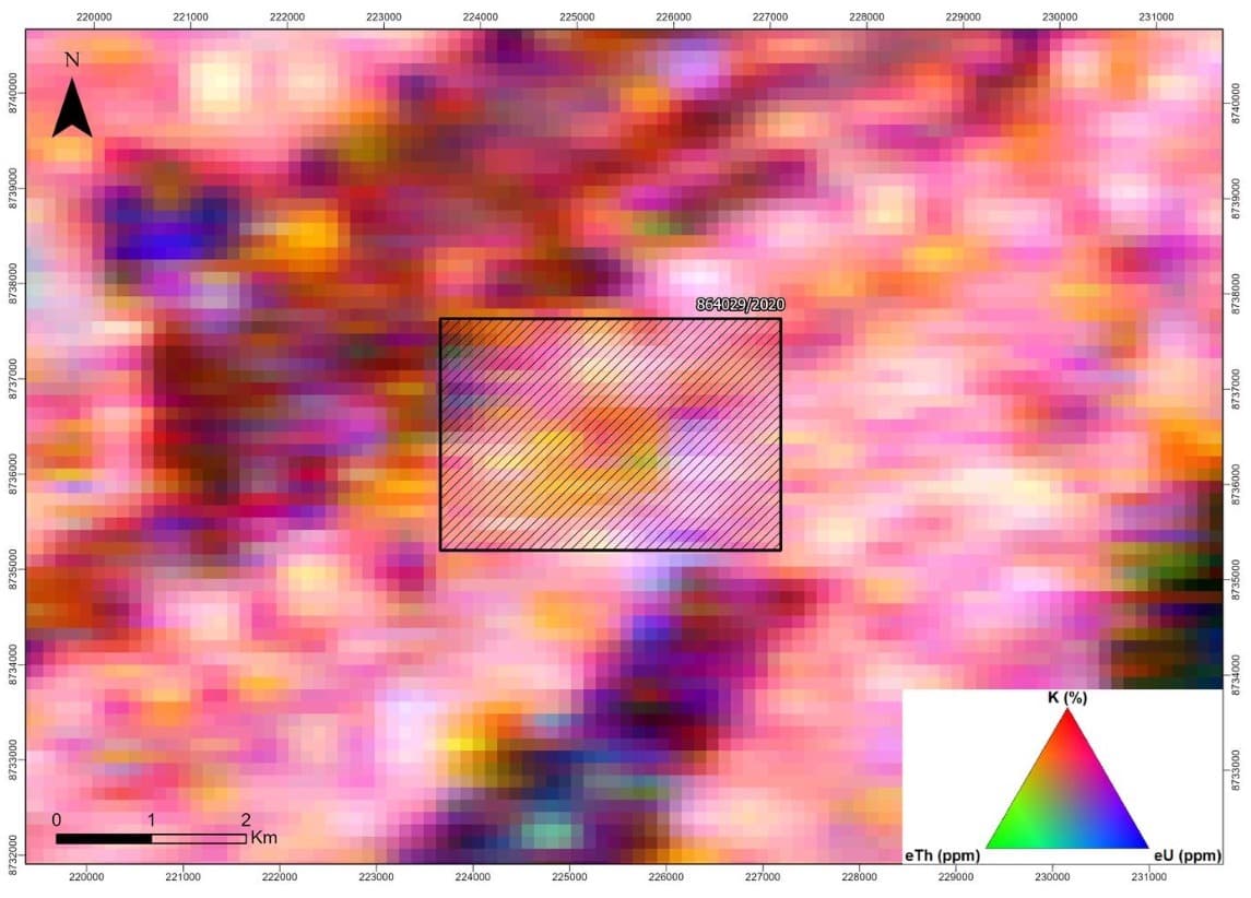
Analytic Signal Amplitude, Total Gradient and gamma-spectrometric products help identify magnetic sources, geological contacts, lithological patterns and alteration zones for subsequent investigation.

Xcalibur Smart Mapping
The regional airborne-geophysical data were acquired by Xcalibur Smart Mapping for the Geological Survey of Brazil (SGB/CPRM), within the Safe and Sustainable Mining Program of the Novo PAC.
The project-specific technical interpretation for the Bagaginha area was subsequently carried out by a team of geologists contracted by VLGOLD, using this regional survey as its data basis.
Development path
Geological, geochemical and regional airborne-geophysical work completed.
Gold and multi-element anomalies guide the detailed investigation.
Active exploration authorization and valid operating environmental license.
Detailed work to test continuity, geometry and mineralization controls.
The Trial Mining Permit remains under ANM review and has not yet been granted. This website does not disclose certified mineral resources or reserves.